Roadside ditches
 How
can you participate in the ditch project? How
can you participate in the ditch project?
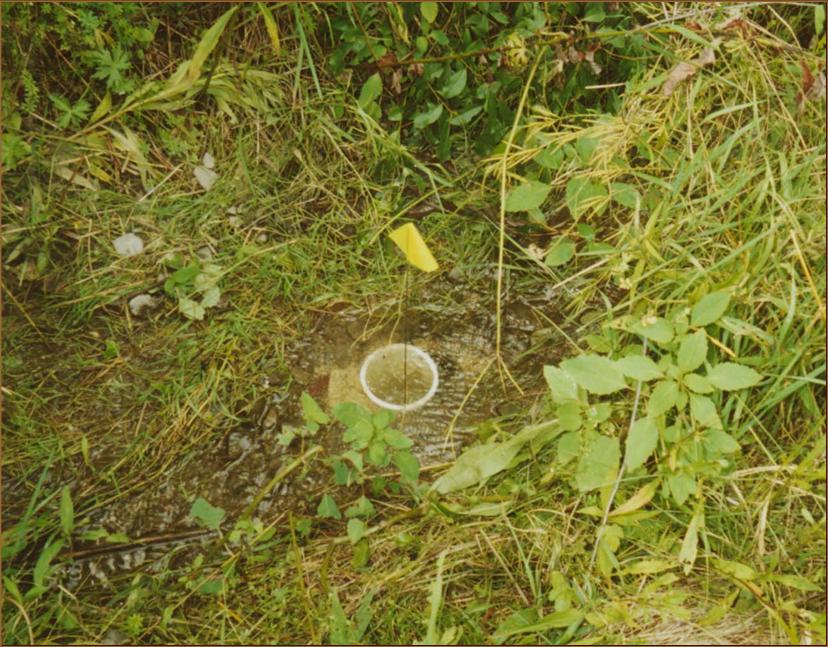
Because most ditches have not been
mapped, students can contribute valuable data on ditch lengths, locations, management
types, and surrounding land uses.
With Global Positioning System (GPS)
technology, you can map ditches, including connections with impervious surfaces
and streams or other water bodies.
You also can design and conduct your
own ditch studies.
What are some
topics for student ditch research?
Back to Ditch
Home
| 