|
 |
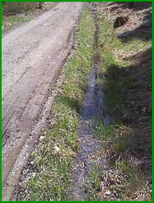
Why study roadside ditches?
You can make a real contribution. Not much research has been conducted on ditches. Your studies could help local
highway departments, planning agencies, and other groups to make better decisions
about ditch design and management. It's fun. Using Global Positioning System (GPS) technology, you can map ditches and
see how they connect to make a network that drains into a lake or other water
body in your watershed. Most ditches have not yet been mapped, so you can
collect valuable data on ditch lengths, locations, management types, and surrounding
land uses. It's important. Through observing ditches and mapping the connections between impervious surfaces,
roadside ditches, and nearby streams, you can help build better understanding
the hydrologic linkages between stream ecosystem health, watershed land uses,
and management practices.
How do ditches relate to streams?
Back to Ditch Home
|
